Nathan Damas Antonio
Researcher in GIScience, collaborative cartography, OpenStreetMap, spatial analysis, and semantic interoperability.
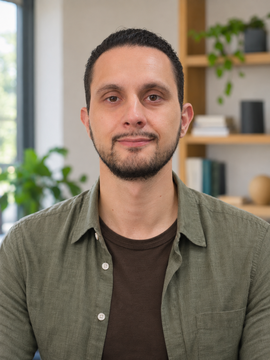
Ph.D. Candidate in Geodetic Sciences | UFPR
Researcher | LAGEAMB/UFPR
Visiting Researcher (2023–2024) | Heidelberg University
Curitiba, Paraná, Brazil
nathandamas@ufpr.br | LinkedIn
Research interests: collaborative cartography, OpenStreetMap, VGI, spatial and spatio-temporal analysis, semantic interoperability, photogrammetry, LiDAR, UAV, spatial data infrastructures, and 3D cadastre.
CV | Publications | Projects | ORCID | Lattes
Featured Projects
Spatio-temporal analyses of contributions, deletions, and data maturation in OpenStreetMap.
Spatial database modeling, metadata, interoperability, and automation applied to territorial data management.
Applications of natural language processing and large language models in the geospatial domain.
Highlights
Ph.D. candidate in Geodetic Sciences at UFPR.
Experience with Python, PostGIS, QGIS, GeoServer, GeoNode, and the OHSOME API.
Research focused on OpenStreetMap, collaborative cartography, and data quality.
Work involving photogrammetry, LiDAR, UAV, and 3D cadastre.
International research experience as a visiting researcher at Heidelberg University.
Recent News
Launch of the public version of the academic website.
Development of the blog section for authored texts and methodological reflections.
Consolidation of project and publication pages.